In this post we will use the ogr2ogr command line tool from GDAL to convert a shapefile of NYC zip code boundary data to GeoJSON format, as well as convert the projected coordinates to latitude and longitude, in one line of code.
Read More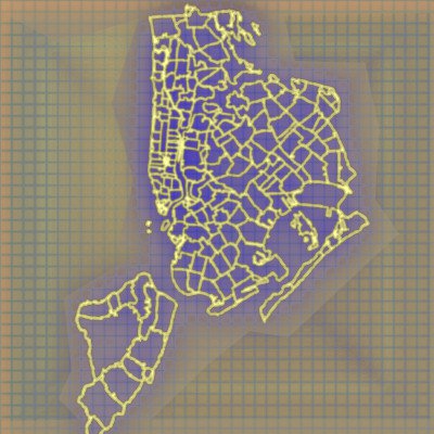
In this post we will use the ogr2ogr command line tool from GDAL to convert a shapefile of NYC zip code boundary data to GeoJSON format, as well as convert the projected coordinates to latitude and longitude, in one line of code.
Read More